Hiking La Soufrière
The second part of our Caribbean trip was eight days spent exploring Guadeloupe; an "overseas region of France" consisting of two large islands joined by a bridge. As shown below, there are a few nearby islands included in the country. Guadeloupe is said to resemble a butterfly and we spent our first four days on the drier eastern wing called Grande-Terre, and our final four days on Basse-Terre, the rainforested western wing.


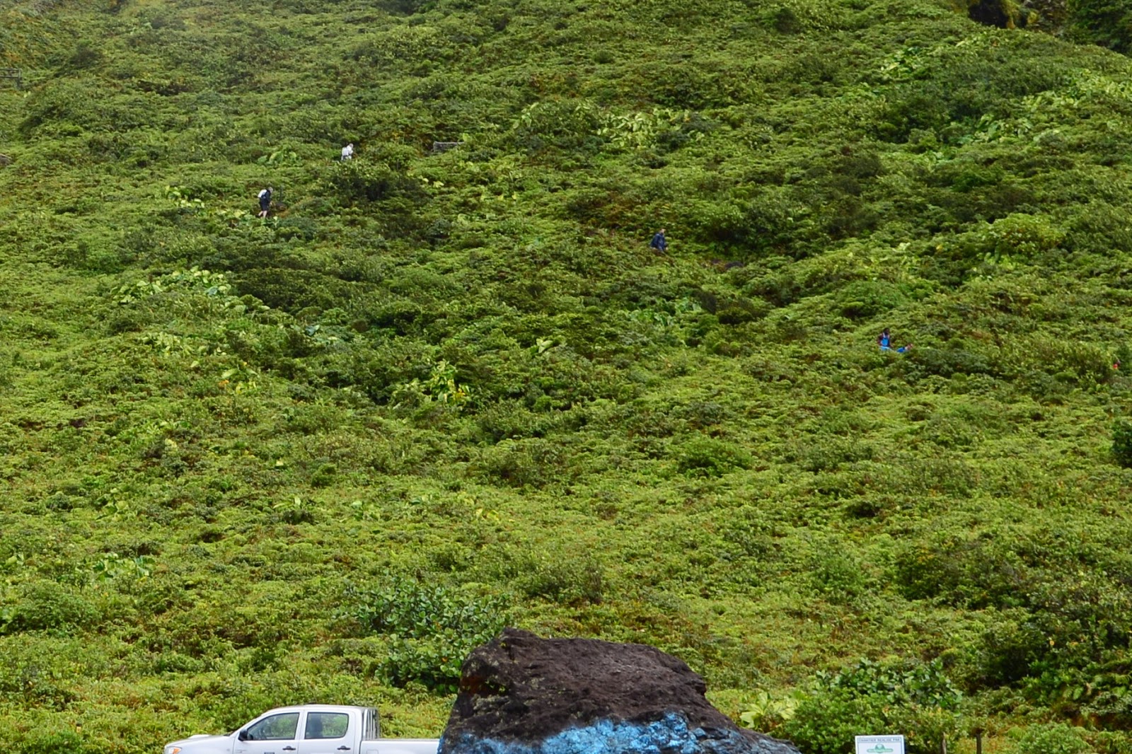
 When we arrived at this flat asphalt area the rain disappeared and the sun came out soon after. If you look closely at the mountain side you can see a few other hikers in blue and white making their way along. I'll zoom in a bit so you can see...
There was a sign with the elevation posted, where a woman was taking a photo of her two friends. I approached them and asked in French, if they'd like me to take a picture of the three of them. I soon realized what I'd actually said was more like "I'd like to take your photo." After some gestures and more broken French we worked it out.

 As we continued along I observed aloud that the first part of the hike had been challenging, but this part was quite comfortable, almost easy. The most difficult part was avoiding tripping over rocks and roots as you admired the beauty around you. In the back of mind was the thought that something more demanding was on it's way and unfortunately I was right.


 Here's the spot where it became more strenuous. It was also the spot we ran into our neighbours from Bois Cannelle coming down the slope. "How much farther," I asked, breathlessly. "About a half hour," they replied, "a good half hour." I don't think "good" was the correct word.
Mike joked that Le Soufrière meant "the suffering" but it actually means The Sulphur Mine. There was a part of the hike, which I believe is called the Fumeroles of Carbet, where the smell of sulphur was overwhelming and I felt quite nauseated.


One of the highlights of our trip was climbing La Grand Soufrière, an active volcano on Basse-Terre. At 1,467 feet, it's the highest peak in the Lesser Antilles. For some hikes the aspiration is in the journey, for others it's in the view at the top. For Soufrière and me, it was in the accomplishment. Though the first half of the journey was quite beautiful and the views along the way were stunning, once we got to more challenging heights I admit I was ready to give up more than once.
In fact we almost didn't start. It was pouring rain by the time we arrived at Saint Claude and we realized we might not be prepared for the weather. We had some $5 Canadian Tire rain ponchos but we had foolishly not considered the likely drop in temperature with the elevation gain. It had taken us nearly 90 minutes to drive from our accommodations in Deshaies. The drive along the coast had been beautiful and sunny all the way, but we were now in the rainforest in the Parc National. We considered hiking another day, but mother nature, she is fickle, and since we were already there we decided to make the best of it.
My fearless leader begins.
We donned our rain gear and began the climb on the well maintained trail that snaked through the rainforest. Much of it was paved with uneven stone cobble interspersed with steep staircases cut into the mountain side. I couldn't help but wonder how slippery those rocks might be on the way back down. I kept my camera safely tucked under my poncho and didn't take any photos as it rained through the first 45 minutes of the hike.
There was a sign with the elevation posted, where a woman was taking a photo of her two friends. I approached them and asked in French, if they'd like me to take a picture of the three of them. I soon realized what I'd actually said was more like "I'd like to take your photo." After some gestures and more broken French we worked it out.
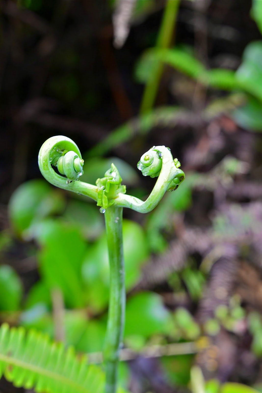
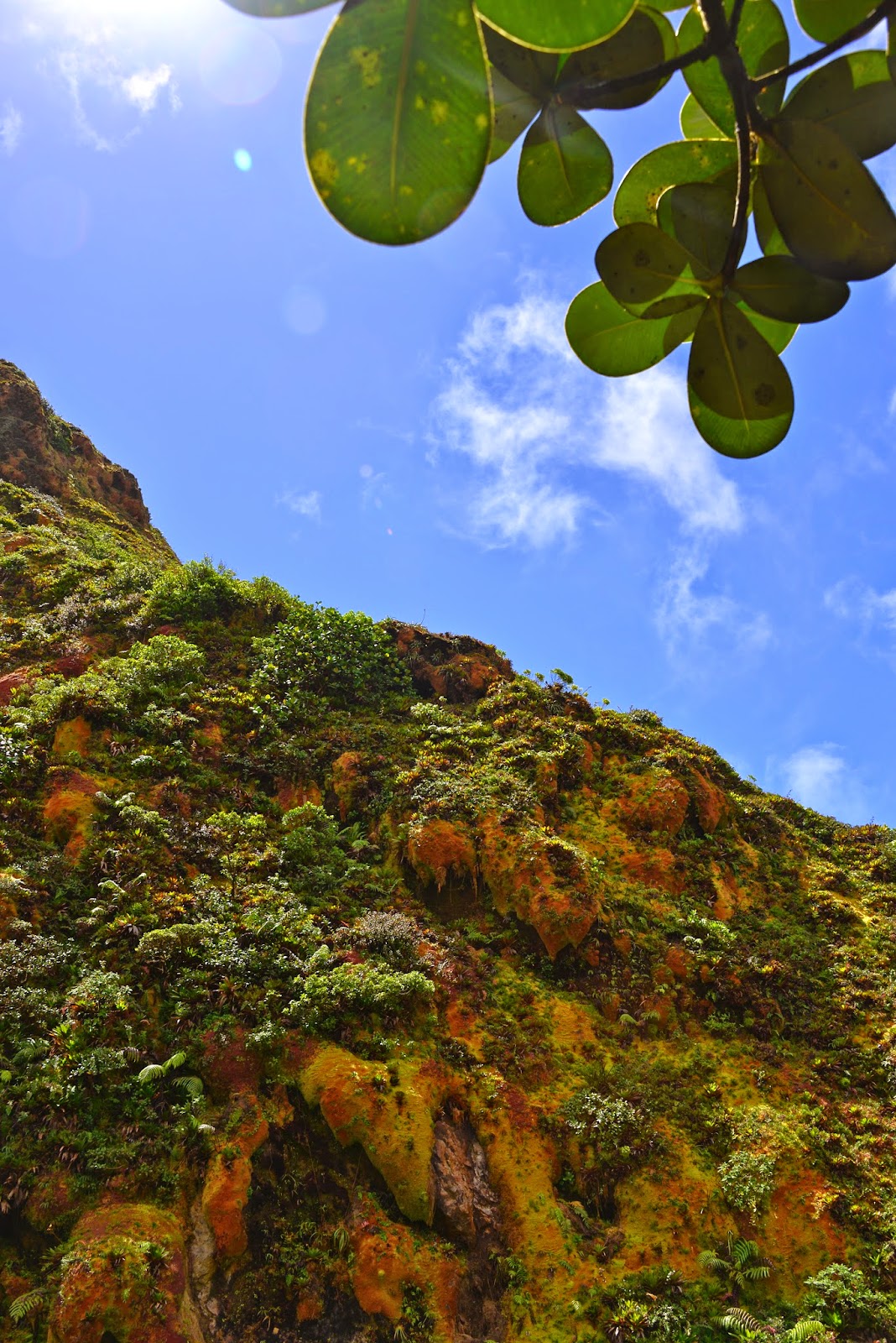
A good portion of the hike was sunny and the views were astonishing. Everything was vibrant green and lush.
Mike joked that Le Soufrière meant "the suffering" but it actually means The Sulphur Mine. There was a part of the hike, which I believe is called the Fumeroles of Carbet, where the smell of sulphur was overwhelming and I felt quite nauseated.
A little more challenging but I didn't think I was doing too badly for my own level of fitness. I was sweating up a storm but I've always had difficulty handling the heat and I enjoy a good sweat. We stopped occasionally for me to catch my breath and regain my equilibrium - dizziness plagues me on these climbs. Negotiating the uphill wasn't too bad but I kept thinking it would be more more difficult to go down these rocky slopes.
This guy packing a 20 lb kid on his back made me feel like a bit of a whiner. He wasn't the only man with a child on his back either. We also passed a couple part way up, stopped for a smoke. Seriously??!!
The oddest two we ran into were a man and a woman. We speculated on whether or not they were a couple as they were about fifteen minutes apart. The first to appear was the man. A silver haired gentleman wearing a grey dress shirt and dress pants and black loafers. He moved at a quick pace and we stepped aside to let him pass. The woman followed later, blonde flowing hair, body clad in a form fitting red tube dress with a large silver clasp at her cleavage. She wore flip flops and she too moved at a rapid rate. Both of them passed us again separately, on the way down, the woman before the man this time.
I found it hard to believe they went all the way to the peak. When we reached the bottom we saw the gentleman get into a car and drive off. We tried to imagine their story.... Lover's tryst? Lover's quarrel? Reality show contestants? MI6 agents exchanging info? I guess we'll never know.
This portion really gave me pause. Would I have the confidence to get down? Heights are an issue for me. Then I realized I could turn around and climb down as though descending a ladder, giving me stability and keeping me from having to see the route I might "tomahawk down" as the mountain bikers say.
As we neared the ridge the cloud and rain blew in. There's a crater near the top and we could see the glow through the mist, but my goal was at hand in the opposite direction. I negotiated the final slope, anxious to get around the hill and out of wind which was literally trying to remove my T-shirt. My back was fully exposed as the bottom of my T-shirt had blown up the back of my head. I clutched my camera with one hand and the other was desperately trying to maintain a little modesty holding down the front of the T.
Tah Dah!!!! Not the best photo of me but I had to have proof that I made it to the top.
(FYI, that's my insulin pump in my right hand.)
It took us three hours to get to the top which I thought was pretty impressive since we'd stopped for photos and rests. The websites I visited said it should take 2 1/2 or 3 hours. Different websites showed different numbers regarding the elevation gain of the hike, somewhere between 800 and 900m. I really have to give a lot of credit to my hubby who encouraged me whenever I doubted myself, wouldn't let me give up and promised he'd help me climb down safely.
Clambering down those rocks was easier than I had feared. The end portion, where I had worried about the slippery cobble, was not slippery, but I was surprised at how frustrating and painful it was to negotiate the unevenness of a seemingly level stone pathway.
The descent was two hours of agony. Well maybe it was only the last hour that was agony - some of you know how much harder the descent is on muscles around the knees when you aren't it top shape. The last half hour of wasn't so much agony as it was torture, as I had developed a blister on the side of my big toe.
Would I do it again? You bet! But I plan to be in better shape, armed with blister bandages. As a bonus, conquering the mountain gave me more confidence while we hiked some steep and slippery slopes on Dominica, our next island.
P.S. If you're wondering why I'm not sporting my stylish rain poncho, I got a tear in the neckline when I took it off the first time. Then when I put it on again the wind pretty much blew it to pieces. Guess it wasn't worth splurging on the $4.99 one instead of the 99 cent one.


Meme les randonneurs Francais ont un style...
ReplyDeleteTranslation: Even the French hikers have a style...
DeleteToo true Nic! I had to look that one up.